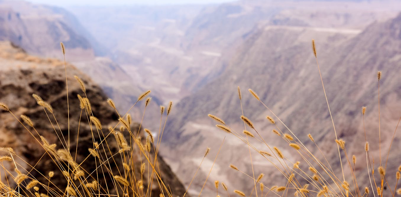
One-third of the Earth’s land surface is already degraded. The UN estimates that more than 2.6 billion people are harmed by land degradation, with countries losing up to US$10.6 trillion (£7.8 trillion) a year because of damage to “ecosystem services”, including the benefits people get from nature such as water and food.
Unhealthy soil is a major contributor to land degradation. This can lead to loss of biodiversity, harm plants and animals, cause sand and dust storms and affect crop yields.
These consequences affect the regulation of the planet’s climate and water cycle, socioeconomic activities, food security and forced migration of people.
Emerging smart technologies such as artificial intelligence, satellite remote sensing and big data analysis offer a chance to protect our soils. These tools can help track soil health in real time. This will support farmers, landowners, government agencies and local communities in making better decisions to care for the soil.
Get your news from actual experts, straight to your inbox. Sign up to our daily newsletter to receive all The Conversation UK’s latest coverage of news and research, from politics and business to the arts and sciences.
As a professor of geo-hydroinformatics – a field that combines geoscience, hydrology and information technology – my research focuses on using AI, algorithms and advanced modelling tools to better analyse and predict soil health.
My team and I have developed the first global map of soil salinisation (accumulation of salt in soil) under various climate scenarios using AI-powered techniques. Soil salinisation is one of the leading contributors to soil degradation and can happen naturally or because of human activities, such as using salty irrigation water or poor drainage systems.
With increasing climate uncertainty, our models help identify regions most vulnerable to salinisation. Our AI-driven analysis predicts that by the year 2100, dryland regions in South America, southern and western Australia, Mexico, the southwestern US and South Africa will be key hotspots of soil salinisation.
In another key study, we used satellite data, AI and big data tools to investigate the interaction between soil salinity and soil organic carbon – an important part of healthy soil that stores nutrients, holds water and supports plants.
Part of this analysis revealed a general negative correlation between salinity levels and soil organic carbon content. As salinity increased, we found that the soil organic carbon content tended to decrease.
Our two studies underscore the transformative potential of AI technologies and big data analytics in understanding soil degradation. With a deeper understanding, land can be better managed through more effective mitigation policies and sustainable land use planning.
Restoration at scale
Large-scale land restoration can transform degraded soils. In the Loess plateau in China, centuries of deforestation and unsustainable farming have led to significant ecological challenges. Loess soils (a type not limited to this location in China, formed essentially by the accumulation of wind-blown dust) are easily eroded because they are made up of fine and loose particles.
Degradation here has led to more frequent floods, droughts and dust storms because soil degradation is often associated with compaction. This reduces the ability of soil to absorb and hold water.
In the 1990s, this prompted the Chinese government to invest in reforestation and sustainable agriculture. This led to the landmark Loess plateau watershed rehabilitation project, with the main goal of boosting farming and incomes on 15,600km² of land in the Yellow River’s tributary area. The total project cost of US$150 million, partly funded by the World Bank, was approved in 1994.
Elsewhere, in the Tigray region of Ethiopia, the EthioTrees project was launched in 2016 to tackle land degradation through community-based reforestation, enclosures to limit grazing, and reinvestment of funds generated through climate finance mechanisms.

Jon Duncan/Shutterstock
Despite challenges including drought and limited financial resources, these large-scale restoration projects have transformed the landscape and lives of people living there.
But the Loess plateau and Tigray projects have been complex and expensive. A lot of coordination between people across huge regions and in different sectors is required to ensure a successful, integrated approach. AI can take these successful but resource-intensive restoration efforts and help scale them up.
I’m also involved with a European Commission-funded project called AI4SoilHealth, which aims to advance the use of AI to monitor and quantify soil health across Europe. This project shows how data-driven initiatives can support more sustainable land management policies by providing timely, actionable information to governments, farmers and other stakeholders such as landowners, agribusiness companies and local communities.
By integrating satellite imagery with accurate data about soil properties in different locations, AI can help develop robust, scalable models that cross local boundaries. Knowing where best to invest money, resources and effort in scaling up soil health solutions will help protect people, businesses and ecosystems from extreme events in the future.

Don’t have time to read about climate change as much as you’d like?
Get a weekly roundup in your inbox instead. Every Wednesday, The Conversation’s environment editor writes Imagine, a short email that goes a little deeper into just one climate issue. Join the 45,000+ readers who’ve subscribed so far.
The post “Declining soil health is a global concern – here’s how AI could help” by Nima Shokri, Professor, Applied Engineering, United Nations University was published on 06/17/2025 by theconversation.com